
New Windsor Neighbors Block Records
Public block research begins with the parcel, not a person. Orange County GIS shows adjacent property shapes and road geometry. The New Windsor assessment roll adds an assessed owner, mailing address, land class, and value. Historical directories can add a past household context. None of those sources is a current roster of all people on the block, so each has to be read for its own stated role.
| Source | What shows about a block | Access |
|---|---|---|
| Orange GIS parcel map | Adjacent parcels, road geometry, owner or community pop-up, and map layers | Public viewer, report, and CSV tools |
| New Windsor assessment roll | Assessed owner, mailing address, class, value, district, and property location | Public PDFs through the Assessor |
| State voter lookup | A particular voter’s matched registration or poll information | Individual match only, not a block roster |
| Town zoning map | Roads, named places, zoning geography, and boundary context | Public town map |
| Community resources | Public organization contact and program information | Official public pages, not member lists |
Use the source date in every block note. A neighboring parcel may be a house, condominium, institution, utility parcel, common area, road remnant, or vacant tract. Its assessed owner field should never be rewritten as a claim about all people who use the property.
New Windsor Neighbors Start With Parcels
The Orange County Parcel Viewer turns one address into a mapped property. Search the address or parcel ID, open Parcel Details, and pan to the surrounding polygons. The map’s owner or community information is still parcel-centered. Record the parcel ID, property location, municipality, and source date before comparing it with the assessment roll.
The county’s owned-parcels layer is useful for understanding the data model and query context. It exposes fields such as OBJECTID, PrintKey, SWIS, GIS Calculated Acres, and SECNO, with a maximum record count of 2,000. Those layer fields do not prove that every public viewer result has the same display fields.
The official owned-parcels layer is pictured here as a source for the parcel-first method.
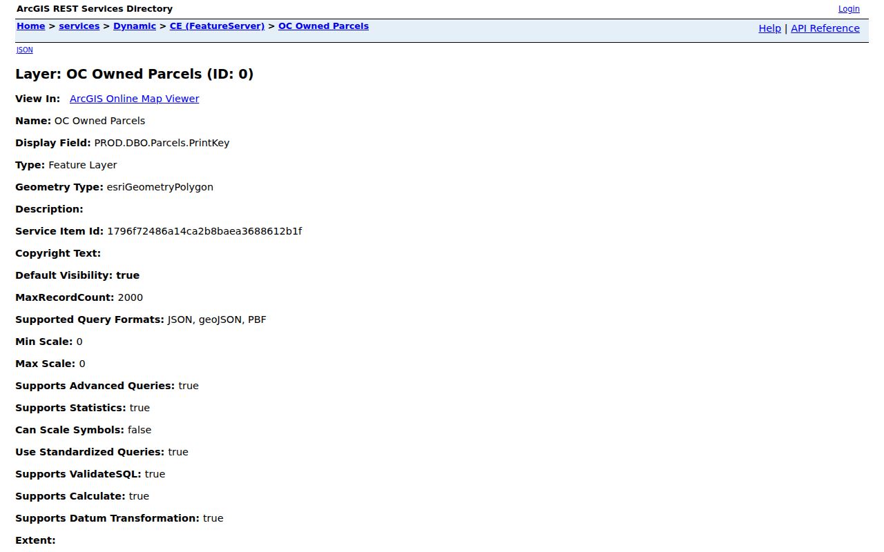
Use a parcel record to describe land adjacency, then confirm assessment details in the roll.
New Windsor Neighbor Assessment Rows
The assessment roll names the assessed owner and prints both property location and current owner address. They are separate fields. The 27 Old Route 9W example is especially useful: the property location was the Old Route 9W parcel, while the owner address for St. Thomas Episcopal was a PO Box. That row proves the need to label a mailing contact as a mailing contact, not as a mapped location.
The New Windsor Assessor posts rolls from 2013 through 2026. Read class and land description before calling an adjoining property a neighbor. A condominium association, school, church, or common area can appear as the owner-like entry for a parcel.
Square Village Condominium Association appears in the inspected roll as an association entry. It is evidence about the parcel’s listed owner relationship, not a public roster of individual members.
New Windsor Neighbors Civic Directory
No official New Windsor HOA or association directory, and no private member roster, was located. Public civic organizations are better used as contact routes or community context. Their pages can show programs, volunteer information, meetings, and public resources without disclosing household membership.
Little Britain PTO
Little Britain Elementary PTO lists a public join or volunteer contact at 1160 Little Britain Road.
American Legion Post 1796
Post 1796 at 29 Walnut Street publishes membership and meeting information, with phone 845-561-9847.
Town Recreation
New Windsor community programs include public activity and program information.
These sources identify a public way to engage with a community. They do not establish that a particular household, person, or parcel is connected to the organization.
The PTO’s public page appears below as an example of a civic contact route.
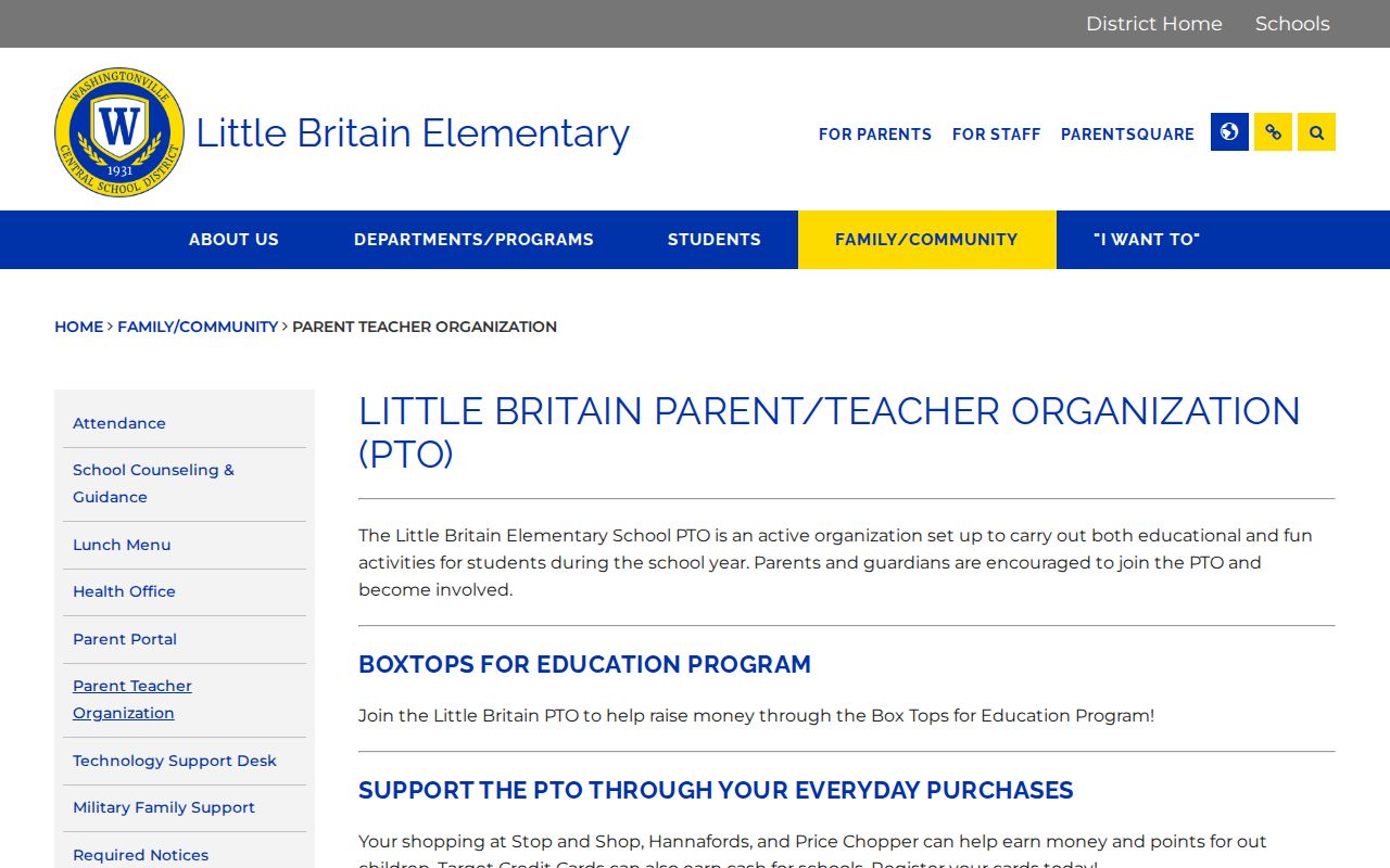
Public participation information is useful for community contact, while private memberships remain outside a parcel search.
New Windsor Community Resource Search
The Orange County Resource Directory is a public community-resource index, not a household directory. The inspected view showed 235 listings. It supports A-to-Z filtering, category and name searching, and pagination in groups of 10. Results can display an organization name, address, phone, description, and website. Check the current result for New Windsor relevance and date.
The Resource Directory view is shown below. Its search categories organize public services and organizations, not nearby residents.
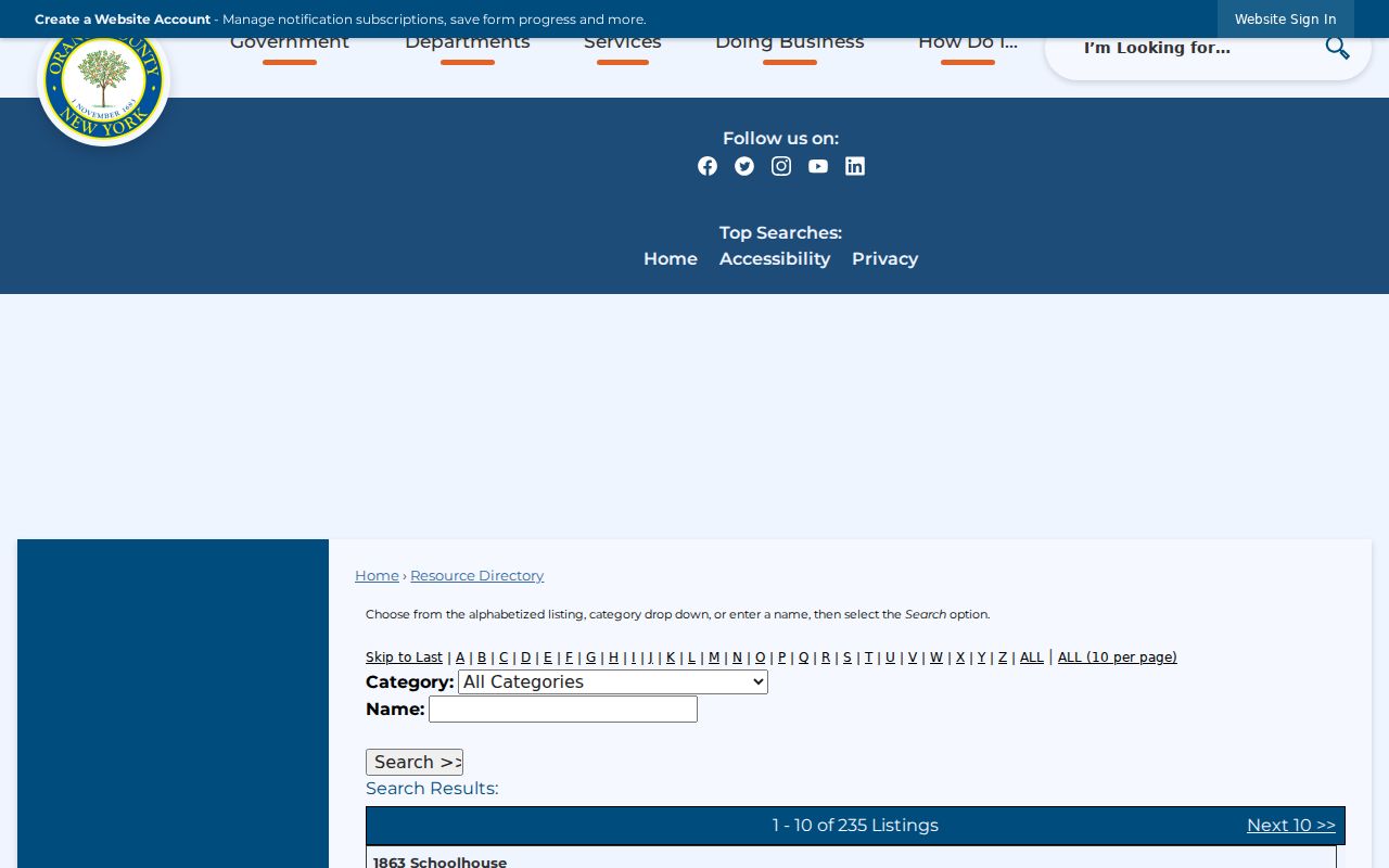
Use a public listing to find a service or organization, not to infer household membership from a location.
Map a New Windsor Block
For a small radius, the map process is direct. The goal is to identify adjoining parcels and their record sources, not to infer a household list. A parcel on the other side of a road may be outside New Windsor or a different district, so municipality and tax-roll checks remain necessary.
- Locate the starting address in the GIS viewer and open Parcel Details.
- Pan to adjacent polygons, or use Map Selection to draw a point, line, or polygon.
- Set a buffer distance, unit, and target, then search. A polygon needs at least three points.
- Inspect the result count, zoom or buffer again, then export a CSV or print a report if the parcel relationship needs to be preserved.
- Check each selected parcel in the assessment roll for class, assessed owner, owner mailing address, and property location.
For the complete record chain along a named road, use the New Windsor street directory. The block method is narrower: address to parcel, parcel to adjacent polygons, then dated assessment interpretation.
New Windsor Neighbors and Place Names
Little Britain, Rock Tavern, and Vails Gate are important geography keys in New Windsor records. They appear on historical and zoning materials, and an older directory, postal label, or map may use one of those place names rather than the modern town label. A parcel can also cross or sit close to a municipal, district, or postal boundary. Verify municipality in GIS and the tax roll instead of relying on a ZIP code or road name.
The New Windsor zoning map provides the local geography layer. It helps distinguish land-use and named-place context from parcel ownership or residence.
Note: Postal geography and municipal jurisdiction can diverge, so preserve the source that establishes each one.
New Windsor Block Source Comparison
Official records document their keeper, date, and field limits. Commercial record-compilation tools are a separate category that can combine public filings, marketing material, directory fragments, and historical addresses. Their updates, matching logic, and correction routes vary. A parcel conclusion should rest on the dated official roll, GIS layer, deed, or custodian response rather than an unnamed compiled profile.
| Source category | What it is suited to show | Key limit |
|---|---|---|
| Official GIS and assessment records | Parcel geometry, assessed owner, field labels, and source date | Does not identify every person using a parcel |
| County deed records | Recorded land transfer parties and legal descriptions | Does not establish present occupancy |
| Public civic directories | Organization contacts, activities, and public services | Not a membership or household list |
| Commercial compiled category | Potential leads from mixed sources | May be stale, mismatched, incomplete, or unclear about origin |
Use a commercial-category result only as a lead to verify against an official source with a record date and clear field meaning.
New Windsor Neighbors Safety Contacts
New Windsor community programs publish activity and service information. They are a public community route, not a block roster. The programs page is shown below as a source for an official contact route.
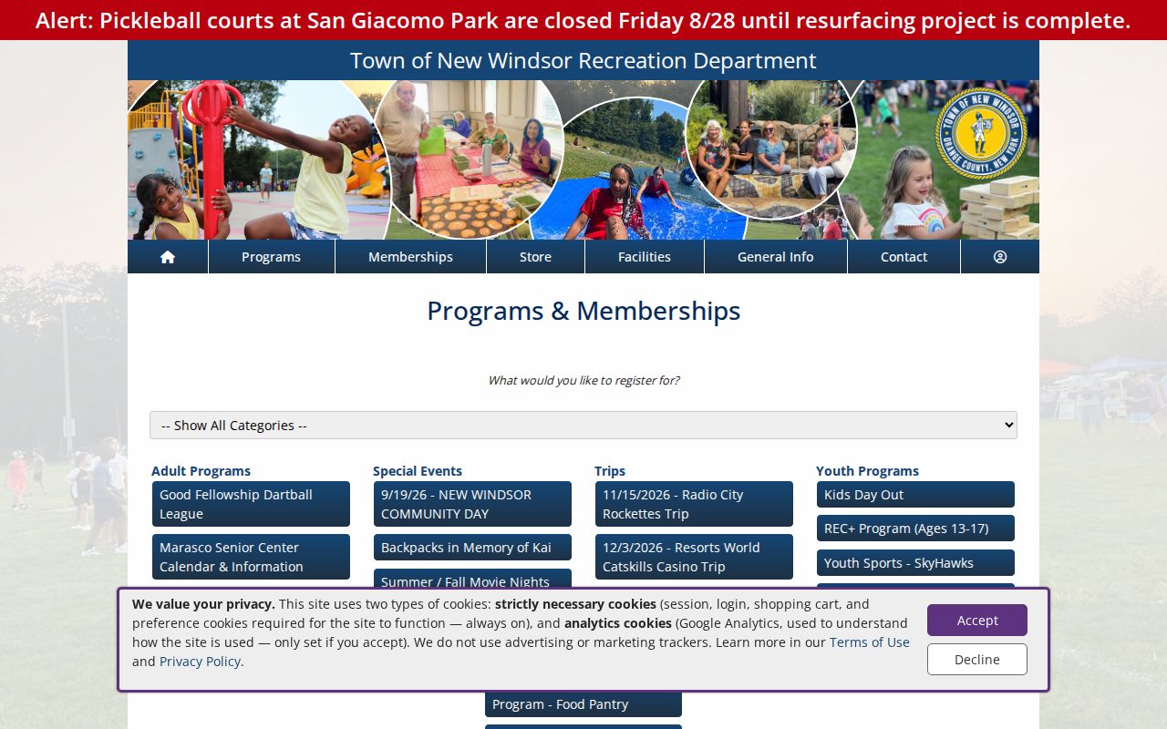
Program information can help identify an official contact path without connecting private residents to a parcel.
New Windsor Community Policing publishes public safety and community information. It is a public contact and prevention resource, not a searchable neighborhood incident or resident list. The town’s guidance warns against surprise demands for sensitive information or gift cards in supposed law-enforcement contacts.
The Community Policing source below is a route for public information and safety awareness.
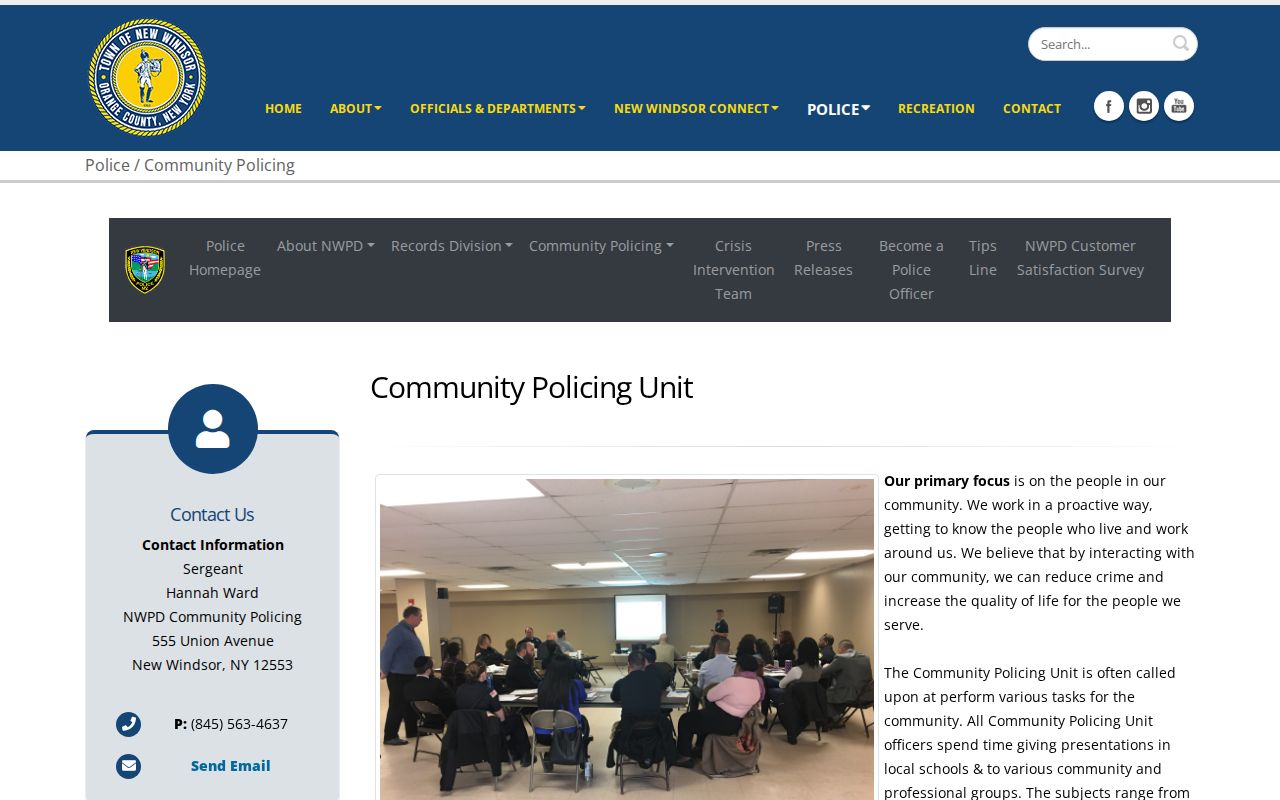
For an urgent safety concern, use official emergency or police channels rather than trying to identify a person through a parcel search.
The American Legion Post 1796 public page is another community-contact example.
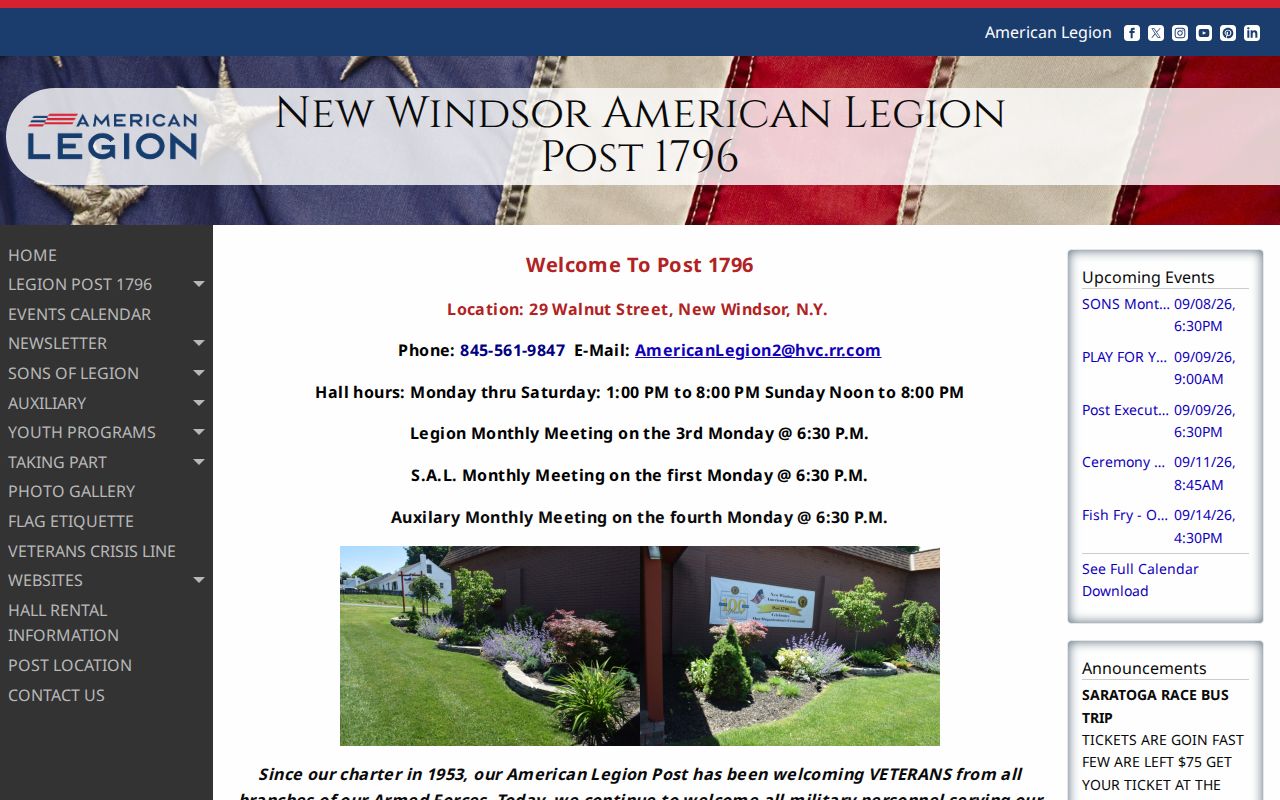
Its posted information supports direct public contact, not a conclusion about nearby households.
Privacy Boundaries for New Windsor Neighbors
New York’s voter lookup requires an individual match with name, date of birth, county, address information, and ZIP. It is not a tool for browsing a block. The full voter file has a written-request route with an elections-purpose statement under Election Law §3-103(5), and confidential voter registration under §5-508 protects actual addresses. The state voter lookup should be used only for its stated matched purpose.
Private household members without a public filing, utility and delivery accounts, DMV records, protected voter addresses, Address Confidentiality Program locations, sealed court matters, and nonpublic police or vital records remain outside a block search. The Address Confidentiality Program provides a substitute mailing route for qualifying participants. Do not try to reverse-engineer a protected location from parcel or mailing clues.
Lawful personal use. Use New Windsor neighbor records for legitimate property, community, family, or civic questions. Do not use public details to stalk, harass, or intimidate anyone.